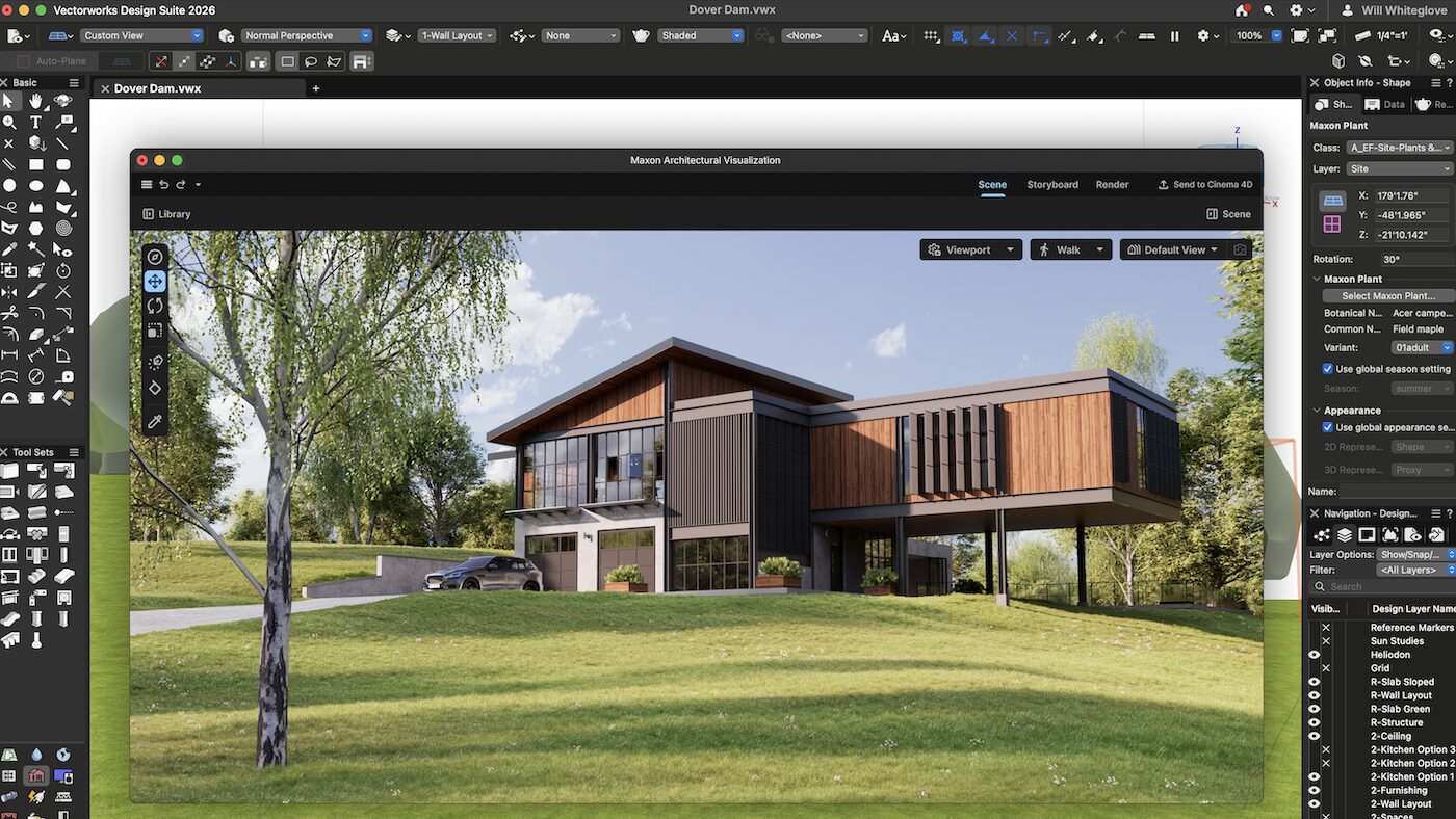
Maxon launches cinematic rendering and preview plug-in for architects
18 March 2026

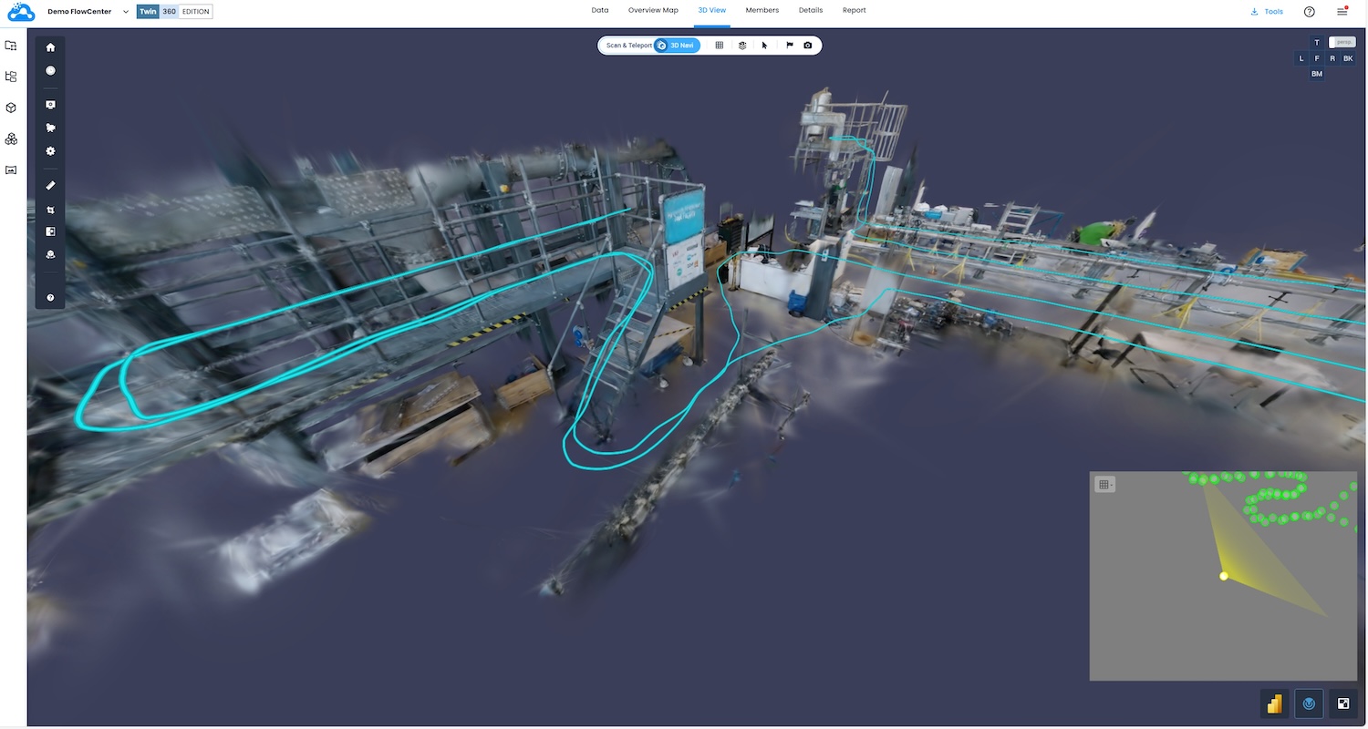
Reality capture specialist OpenSpace has introduced spatial AI technology, giving smartphones real-time indoor positioning, and the so-called visual intelligence platform that surfaces reality capture data as actionable intelligence.
OpenSpace noted the key issue with ensuring accurate location information when using smartphones on site: that existing solutions involve the installation and maintenance of hardware systems, such as Bluetooth beacons, which can be costly and impractical.
OpenSpace’s solution to this is driven by a patent-pending technology, which it calls AI Autolocation. It compares real-time sensor readings from a user’s smartphone with sensor maps generated from pre-existing 360° captures created on the OpenSpace platform. The result, OpenSpace claims, is an adaptive system that “progressively refines its location estimations even as the construction site itself changes over time”. Furthermore, the company projects that as the system matures, it will rival, and ultimately exceed, GPS-level accuracy, powered by ongoing machine learning.
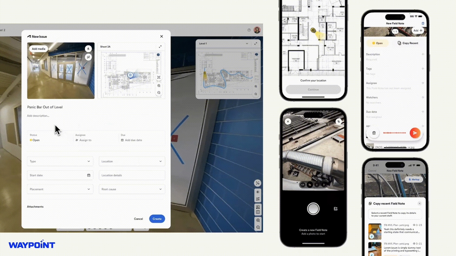
The technology is initially being deployed with OpenSpace’s new workflow, OpenSpace Field (which integrates with the likes of Procore and Autodesk). With AI Autolocation, notes and photos taken in the OpenSpace smartphone app are automatically pinned to floorplans and aligned to BIM in real-time. This automatic spatial awareness significantly reduces ambiguity, accelerates resolution, saves time and keeps office and field teams in sync, according to OpenSpace.
The company stated: “This AI Autolocation breakthrough lays the groundwork for advanced spatial AI agents. While today’s AI agents specialise in processing text-oriented data, construction demands spatial awareness, combining image data and location to simplify, automate and augment complex work. These spatial AI agents will enable proactive issue detection and resolution by flagging issues in specific zones and suggesting immediate actions. They will also provide executive-level insights, with AI-powered summaries derived from visual and spatial data delivering clear, actionable guidance.”
AI Autolocation was launched today at OpenSpace’s customer event, Waypoint. Also launched was the visual intelligence platform, which comprises OpenSpace Field and OpenSpace Progress Tracking. The latter turns reality capture data into insights to:
It also integrates with schedules in P6, Asta, Microsoft Project and Excel.
Skanska is using the visual intelligence platform. Paul Chambers, its project director, said: “With OpenSpace’s visual intelligence platform, we finally have real-time visibility into what’s happening on all our projects, across our entire business. Instead of relying on delayed reports, our teams can spot issues immediately, make faster decisions and reduce costly surprises. It’s a new level of confidence for both our field teams and our leadership.”
Jeevan Kalanithi, co-founder and CEO of OpenSpace, added: “For years, reality capture has been treated as a nice-to-have – useful for documentation or dispute resolution. With today’s launch, we are moving beyond reality capture and redefining reality data as a strategic asset that simplifies workflows and fuels results, from the field to the C-suite. We plan to expand on image-first workflows and bring clarity to every project, every portfolio, every business, and to the industry at large.”
DC+ recently reported on OpenSpace linking up with Sektor to deliver ROI in less than four months.
Keep up to date with DC+: sign up for the midweek newsletter.