Free-to-use flood risk assessment tool works with real-time data
A flood risk assessment tool that streams live data from the Environment Agency (EA), Natural Resources Wales and the Scottish Environmental Protection Agency has been launched.

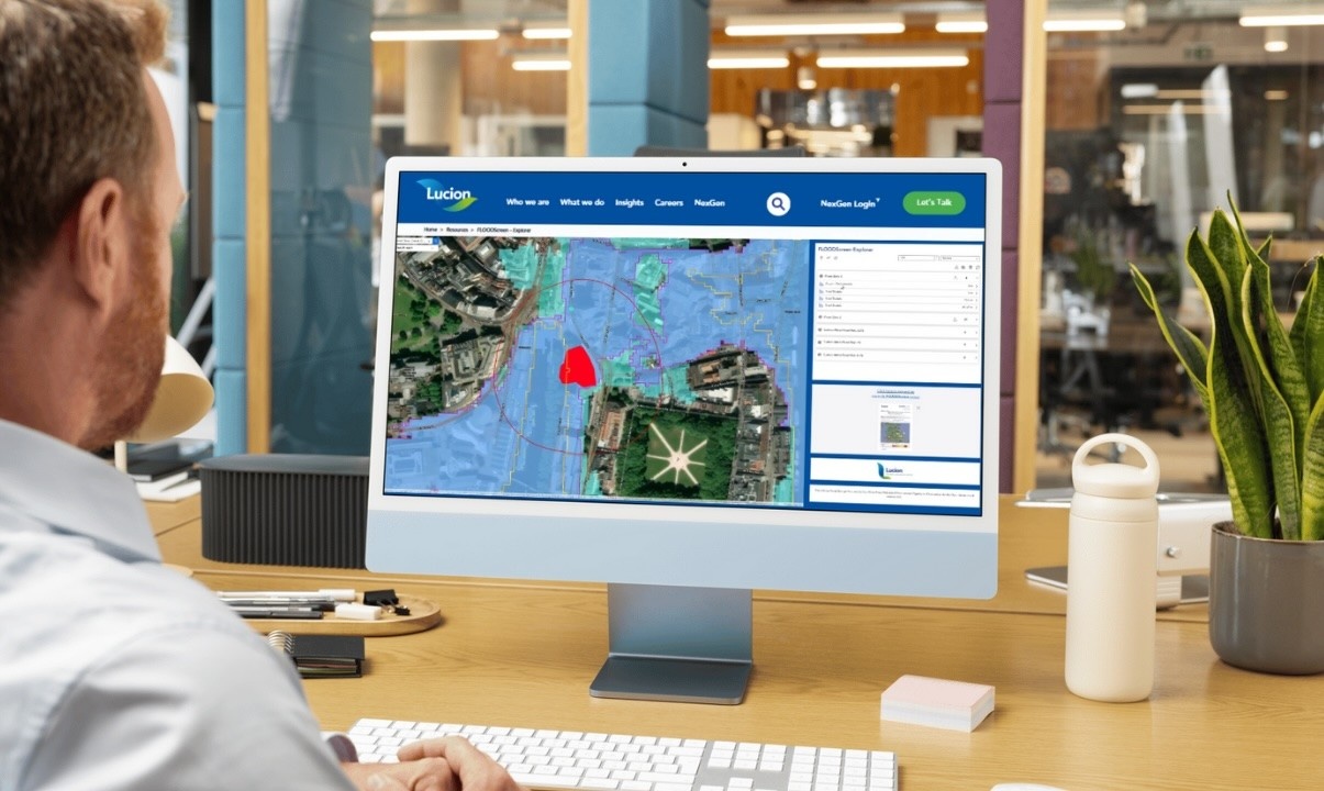
FloodScreen Explorer has been developed by environmental services specialist Lucion. The tool allows users to draw a site boundary anywhere in England, Scotland or Wales and see how it relates to flood risk zones. By streaming real-time data directly from the EA, Natural Resources Wales and the Scottish Environmental Protection Agency, the tool highlights potential risks from rivers, tidal surges, and surface water flooding.
“The development of FloodScreen Explorer is all about making flood risk data more accessible for our users,” said Ben Blowers, GIS lead and associate director at Lucion.
The tool is free to use. However, Lucion also offers a more sophisticated FloodScreen service, designed for comprehensive portfolio-scale assessments that use GIS technology and consultancy to deliver analysis across multiple sites.
The tool’s launch follows significant updates to the EA’s Flood Map for Planning, which now incorporates climate change projections into national flood risk mapping. More than 6 million properties in England are at risk of flooding – and that figure is expected to rise to 8 million by 2050, according to the EA.
Rachel Shepherd, associate director of water services at Lucion, said: “The recent updates to the Environment Agency’s Flood Map for Planning highlight the growing need for more robust, data-driven flood risk assessments. With climate change projections now integrated, property managers and developers must take a more forward-looking approach, reassessing portfolios and planning for long-term resilience.”
Keep up to date with DC+: sign up for the midweek newsletter.


