


Glider and Virtual Helpdesk team up to bring asset intelligence to life
30 September 2026

The Chartered Institution of Civil Engineering Surveyors (CICES) has issued revised data capture, storing and sharing best practice guidance to its members.
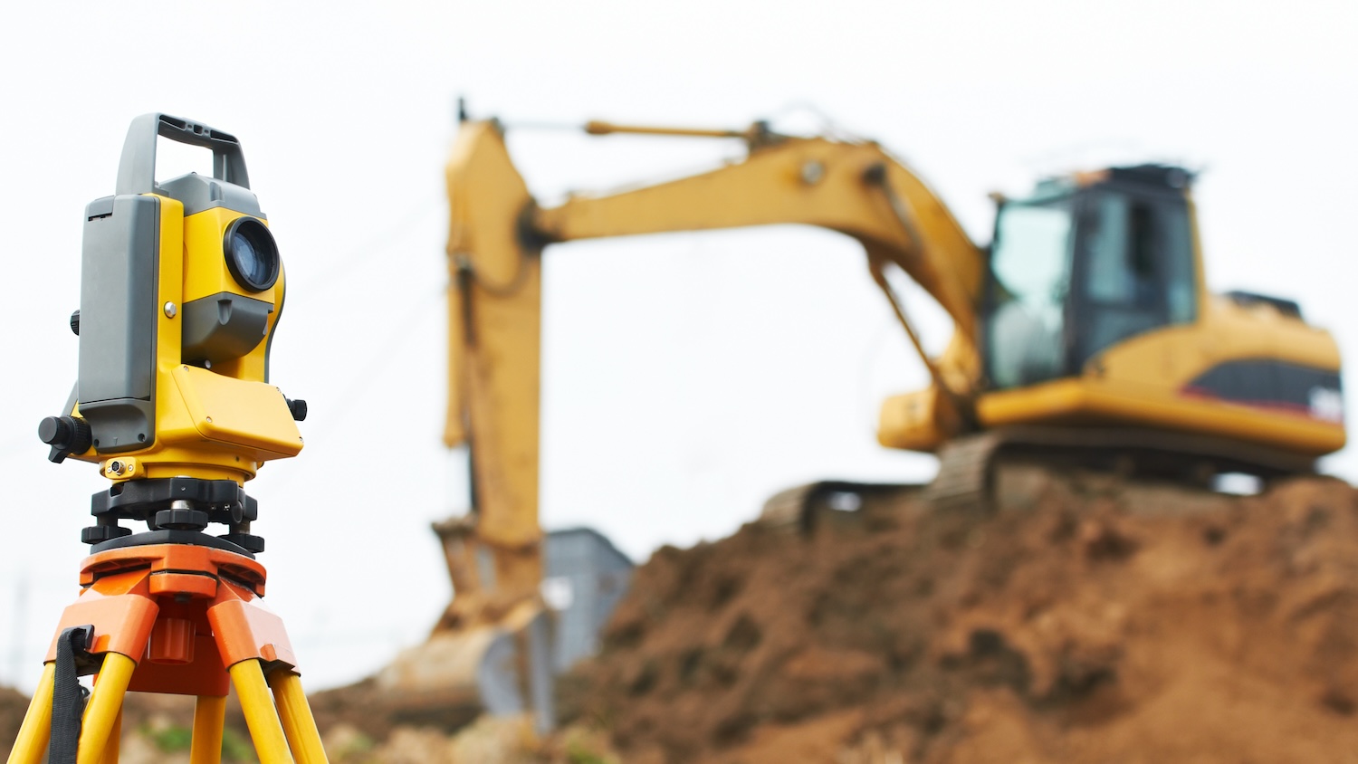
The Utilities and Subsurface Mapping Panel (USMP) of the CICES has produced updated best-practice guidance to highlight areas that all professional surveyors should be mindful of when conducting a utility or subsurface survey and recommended steps to consider.
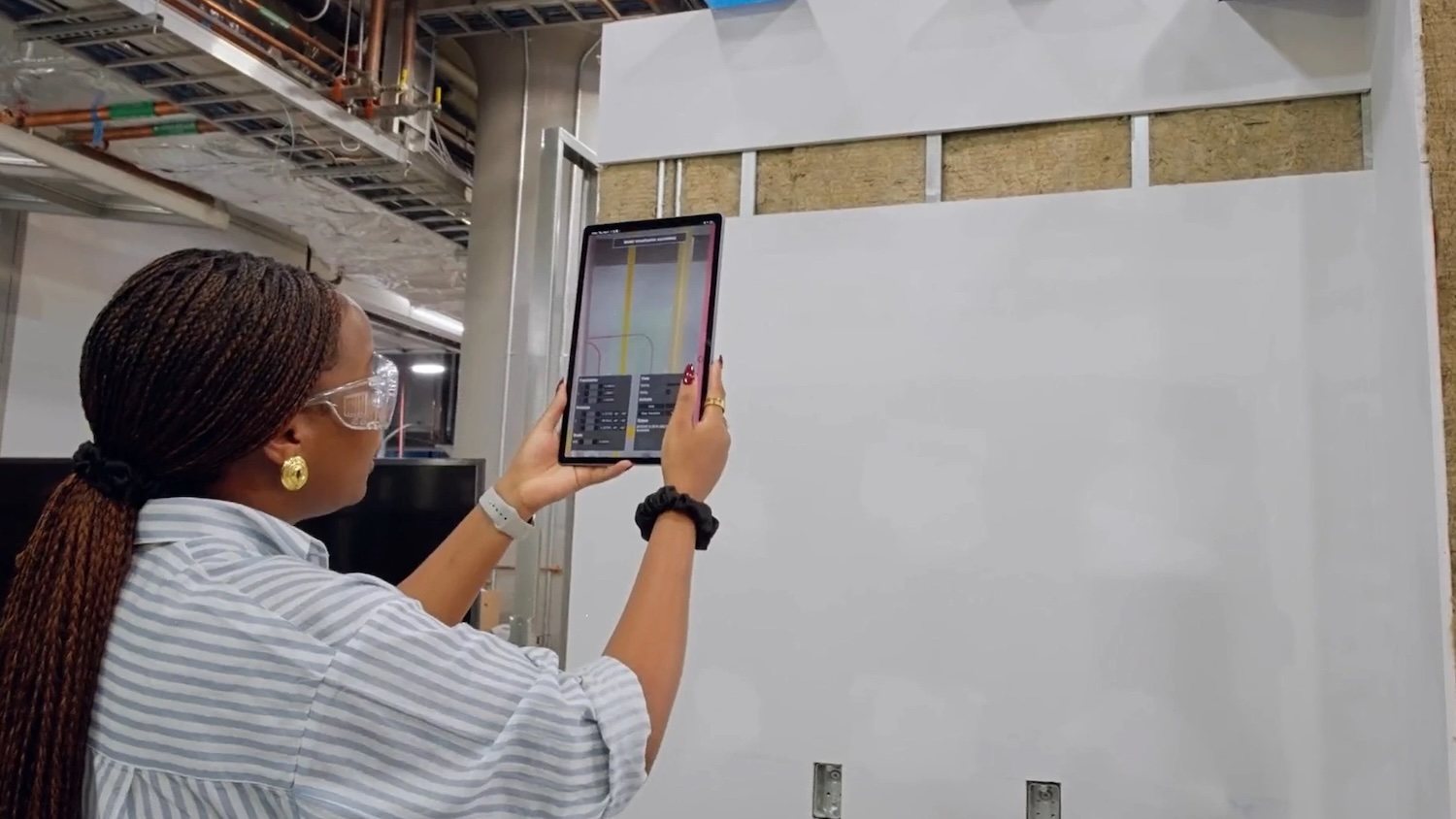
The guidance refers to data in its widest sense, from desktop utility records searches and site reconnaissance to utility detection and verification. ‘Data’ includes everything from historic paper records and photographs to digital geospatial and geophysical data, such as CAD drawings, electromagnetic location and ground-penetrating radar data, point clouds and 3D models for use in augmented reality applications.
The guidance focuses on data management at five key stages:
At each stage of a survey, the CICES guidance advises that there are three main areas of risk to consider:
Although very detailed, the guidance reads like common sense, such as not using insecure public wifi for data transfer. Points that stood out to DC+ include this about CDEs: “If the survey collected any sensitive data, including the interiors of buildings, provide appropriate protection to the raw data set and provide access on a strict need-to-know basis. Any redaction should be carried out during post-processing, and only the redacted version should be stored in any CDE unless there are appropriate security controls in place.”
Also, this point about mass data capture stood out: “If mass data collection methods are being used, consider if data of a building’s interior could be collected, including for example, whiteboards in offices or name plaques on doors, and inform the client and building occupiers, as they may want to mask these prior to data collection.”
While centred on utility surveys, the guidance applies to other types of surveys, especially those using
mass-data capture methods such as 3D laser scanning, LiDAR and drones. The guidance is specifically aimed at surveyors working in the UK, but will also be of use to international surveyors. Clients may also find the guidance useful when commissioning surveys.
Keep up to date with DC+: sign up for the midweek newsletter.