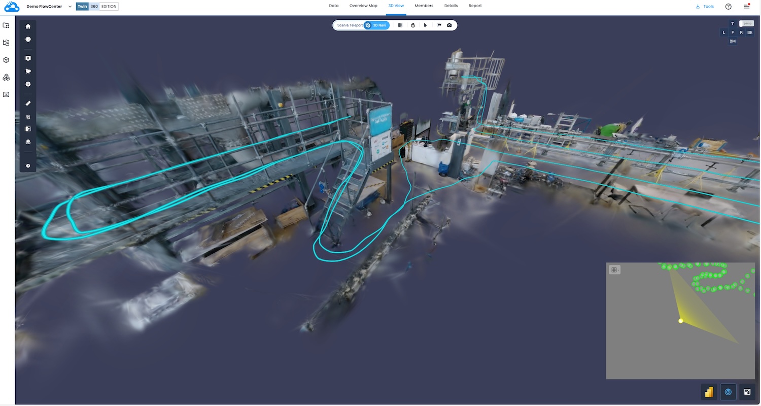
Cintoo brings Ricoh-native 360 data into 3D workflows
24 February 2026

Biodiversity mapping data company Gentian has launched an automated habitat mapping and site screening tool that delivers ecological assessments in “mere minutes”.
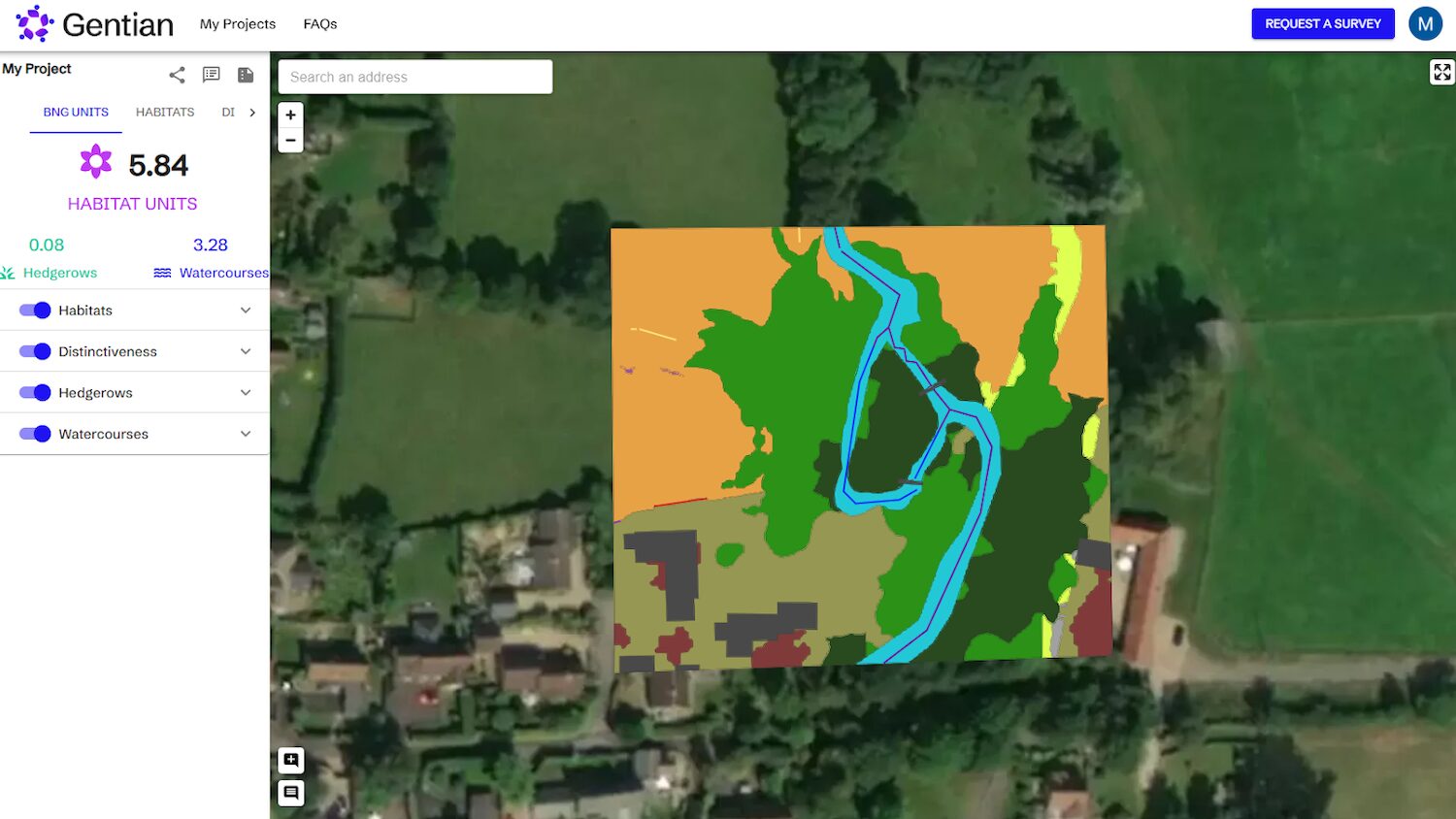
The True Sight tool combines recent high-resolution satellite and aerial imagery with Gentian’s proprietary AI engine to enable developers, ecologists and consultants to assess the baseline biodiversity of a site and quickly understand which areas are best suited for development or biodiversity unit creation.
Gentian says that True Sight is granular enough to distinguish individual trees, small ponds, patches of scrub and other fine-scale habitat features, “delivering accurate habitat boundaries, area sizes and detailed classifications”.
True Sight enables developers to rapidly conduct site scoping across multiple potential development sites, helping them identify viable land faster and in full compliance with BNG regulations, Gentian claims. For ecologists, it provides instant assessments of biodiversity uplift opportunities and clear area sizes for determination of primary and secondary habitats, delivering the data needed to save time, reduce costs, and prioritise efforts effectively.
Gentian True Sight is available now in the UK at £30 for the first hectare and £15 for each subsequent hectare, excluding VAT.
“A normal site scoping assessment can take from half a day or more and be around £250 to £400, therefore limiting the number of sites that can be analysed. True Sight, being 75%-90% cheaper per site, allows multiple sites to be investigated for a fraction of the cost, and all in the time it takes to make a cup of tea,” the company said.
Gentian CEO Daniel White added: “Our solution cuts through complexity, enabling users to assess biodiversity in minutes rather than weeks, and at a fraction of the usual cost. It’s about empowering smarter, quicker decisions that benefit both business objectives and the natural environment.”
Keep up to date with DC+: sign up for the midweek newsletter.